
Leadmore topographic map
Interactive map
Click on the map to display elevation.
About this map
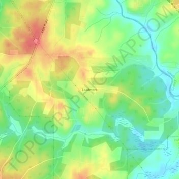
Name: Leadmore topographic map, elevation, terrain.
Location: Leadmore, Henry County, Georgia, United States of America (33.43512 -83.97352 33.47512 -83.93352)
Average elevation: 630 ft
Minimum elevation: 535 ft
Maximum elevation: 745 ft