
Drouin East topographic map
Interactive map
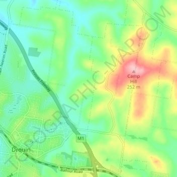
Click on the map to display elevation.
About this map
Name: Drouin East topographic map, elevation, terrain.
Location: Drouin East, Drouin, Shire of Baw Baw, Victoria, Australia (-38.14424 145.85163 -38.09178 145.90248)
Average elevation: 463 ft
Minimum elevation: 279 ft
Maximum elevation: 830 ft
Other topographic maps
Click on a map to view its topography, its elevation and its terrain.