
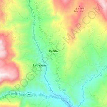
Toledo topographic map
Interactive map
Click on the map to display elevation.
About this map
Name: Toledo topographic map, elevation, terrain.
Location: Toledo, Norte de Santander, Colombia (7.26859 -72.52343 7.34859 -72.44343)
Average elevation: 5,755 ft
Minimum elevation: 4,075 ft
Maximum elevation: 8,540 ft