
Santa Rosa topographic map
Interactive map
Click on the map to display elevation.
About this map
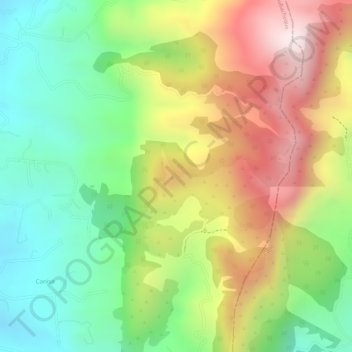
Name: Santa Rosa topographic map, elevation, terrain.
Location: Santa Rosa, Santa Barbara, Cundinamarca, Colombia (4.95150 -74.12743 4.97150 -74.10743)
Average elevation: 9,879 ft
Minimum elevation: 9,009 ft
Maximum elevation: 10,925 ft