
Buller topographic map
Interactive map
Click on the map to display elevation.
About this map
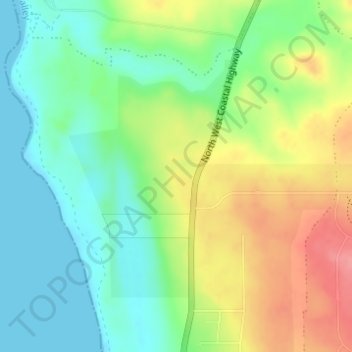
Name: Buller topographic map, elevation, terrain.
Location: Buller, Geraldton, Western Australia, Australia (-28.66043 114.60870 -28.64043 114.62870)
Average elevation: 112 ft
Minimum elevation: 0 ft
Maximum elevation: 282 ft
Other topographic maps
Click on a map to view its topography, its elevation and its terrain.
Grey's Beach
Australia > Western Australia > Geraldton
Grey's Beach, Marine Terrace, West End, Geraldton, Western Australia, WA 6530, Australia
Average elevation: 7 ft