
Lobbes topographic map
Interactive map
Click on the map to display elevation.
About this map
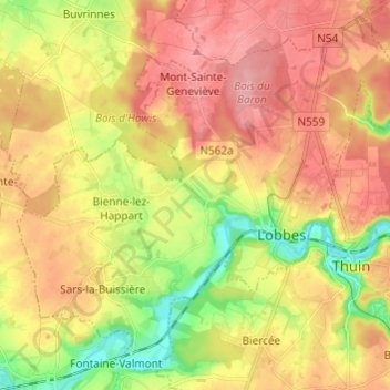
Name: Lobbes topographic map, elevation, terrain.
Location: Lobbes, Henegouwen, Wallonië, België (50.31897 4.18395 50.38891 4.30412)
Average elevation: 558 ft
Minimum elevation: 351 ft
Maximum elevation: 702 ft