
Forêt de Sans-Soucis topographic map
Interactive map
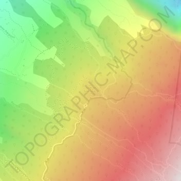
Click on the map to display elevation.
About this map
Name: Forêt de Sans-Soucis topographic map, elevation, terrain.
Average elevation: 4,193 ft
Minimum elevation: 2,425 ft
Maximum elevation: 5,548 ft