
Rubiás topographic map
Interactive map
Click on the map to display elevation.
About this map
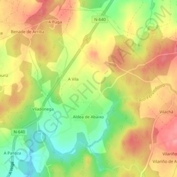
Name: Rubiás topographic map, elevation, terrain.
Location: Rubiás, Lugo, Galicia, España (43.04826 -7.51282 43.07315 -7.48015)
Average elevation: 1,660 ft
Minimum elevation: 1,486 ft
Maximum elevation: 1,804 ft
Other topographic maps
Click on a map to view its topography, its elevation and its terrain.