
La Palma topographic map
Interactive map
Click on the map to display elevation.
About this map
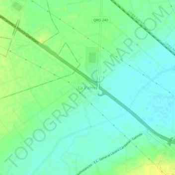
Name: La Palma topographic map, elevation, terrain.
Location: La Palma, Pedro Escobedo, Querétaro, México (20.50224 -100.19340 20.54224 -100.15340)
Average elevation: 6,263 ft
Minimum elevation: 6,237 ft
Maximum elevation: 6,296 ft