
La Boissière-des-Landes topographic map
Interactive map
Click on the map to display elevation.
About this map
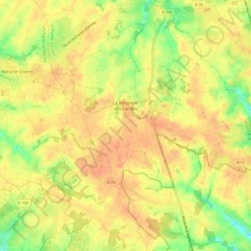
Name: La Boissière-des-Landes topographic map, elevation, terrain.
Average elevation: 220 ft
Minimum elevation: 102 ft
Maximum elevation: 269 ft