
Laguna de Alboraj topographic map
Interactive map
Click on the map to display elevation.
About this map
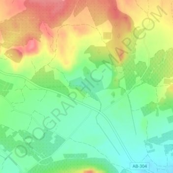
Name: Laguna de Alboraj topographic map, elevation, terrain.
Average elevation: 1,978 ft
Minimum elevation: 1,857 ft
Maximum elevation: 2,126 ft
Other topographic maps
Click on a map to view its topography, its elevation and its terrain.
La Chiclana
España > Castilla-La Mancha > Tobarra
La Chiclana, Tobarra, Albacete, Castilla-La Mancha, España
Average elevation: 2,287 ft