
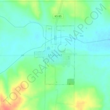
Morland topographic map
Interactive map
Click on the map to display elevation.
About this map
Name: Morland topographic map, elevation, terrain.
Location: Morland, Graham County, Kansas, États-Unis d'Amérique (39.34219 -100.08225 39.35667 -100.06945)
Average elevation: 2,346 ft
Minimum elevation: 2,290 ft
Maximum elevation: 2,477 ft