
Oued Djihadi topographic map
Interactive map
Click on the map to display elevation.
About this map
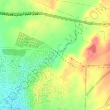
Name: Oued Djihadi topographic map, elevation, terrain.
Location: Oued Djihadi, El Eulma, Daïra El Eulma, Sétif, 19605, Algérie (36.15970 5.70603 36.16742 5.71967)
Average elevation: 3,235 ft
Minimum elevation: 3,120 ft
Maximum elevation: 3,350 ft
Other topographic maps
Click on a map to view its topography, its elevation and its terrain.