
Pont-à-Celles topographic map
Interactive map
Click on the map to display elevation.
About this map
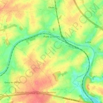
Name: Pont-à-Celles topographic map, elevation, terrain.
Location: Pont-à-Celles, Charleroi, Henegouwen, Wallonië, 6230, België (50.48202 4.31021 50.52632 4.39758)
Average elevation: 466 ft
Minimum elevation: 361 ft
Maximum elevation: 568 ft