
Holtum topographic map
Interactive map
Click on the map to display elevation.
About this map
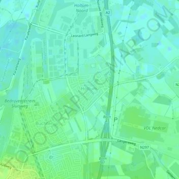
Name: Holtum topographic map, elevation, terrain.
Location: Holtum, Sittard-Geleen, Limburg, Niederlande (51.03959 5.81591 51.05486 5.82683)
Average elevation: 108 ft
Minimum elevation: 92 ft
Maximum elevation: 135 ft