
南澳岛 topographic map
Interactive map
Click on the map to display elevation.
About this map
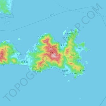
Name: 南澳岛 topographic map, elevation, terrain.
Location: 南澳岛, 汕头市, 广东省, 中国 (23.39226 116.93973 23.48793 117.15022)
Average elevation: 112 ft
Minimum elevation: -7 ft
Maximum elevation: 1,814 ft
Other topographic maps
Click on a map to view its topography, its elevation and its terrain.