
la Pica topographic map
Interactive map
Click on the map to display elevation.
About this map
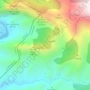
Name: la Pica topographic map, elevation, terrain.
Location: la Pica, Tremp, Pallars Jussà, Lérida, Catalunha, Espanha (42.31338 0.76641 42.31348 0.76651)
Average elevation: 3,369 ft
Minimum elevation: 2,306 ft
Maximum elevation: 5,367 ft