
San Cristobal topographic map
Interactive map
Click on the map to display elevation.
About this map
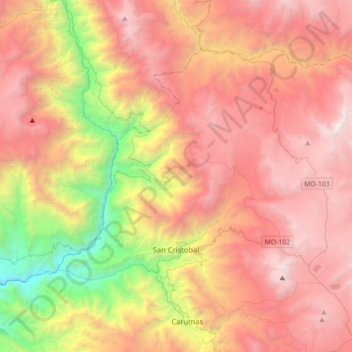
Name: San Cristobal topographic map, elevation, terrain.
Location: San Cristobal, Mariscal Nieto, Moquegua, Perú (-16.79367 -70.82464 -16.54639 -70.47204)
Average elevation: 12,326 ft
Minimum elevation: 5,135 ft
Maximum elevation: 18,215 ft