
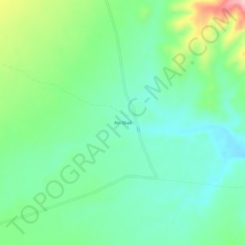
Ain Sbaâ topographic map
Interactive map
Click on the map to display elevation.
About this map
Name: Ain Sbaâ topographic map, elevation, terrain.
Location: Ain Sbaâ, Tamsa, Daïra Sidi Ameur, M'Sila, Algérie (35.19551 3.99963 35.23551 4.03963)
Average elevation: 2,306 ft
Minimum elevation: 2,129 ft
Maximum elevation: 2,733 ft