
嘉善县 topographic map
Interactive map
Click on the map to display elevation.
About this map
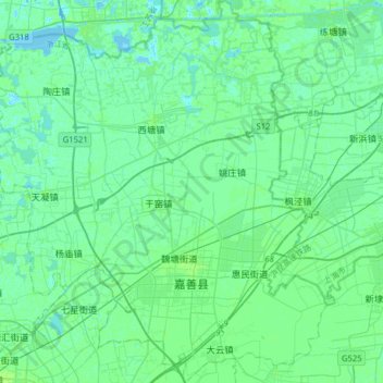
Name: 嘉善县 topographic map, elevation, terrain.
Location: 嘉善县, 嘉兴市, 浙江省, 314199, 中国 (30.76123 120.74145 31.03243 121.03389)
Average elevation: 13 ft
Minimum elevation: -7 ft
Maximum elevation: 46 ft
Other topographic maps
Click on a map to view its topography, its elevation and its terrain.