
Big Pine Creek topographic map
Interactive map
Click on the map to display elevation.
About this map
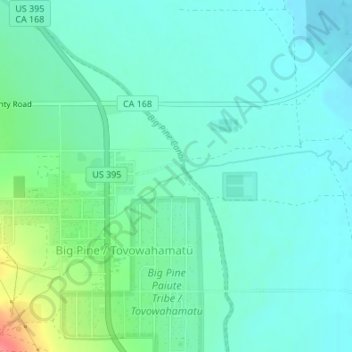
Name: Big Pine Creek topographic map, elevation, terrain.
Average elevation: 3,970 ft
Minimum elevation: 3,914 ft
Maximum elevation: 4,150 ft
Other topographic maps
Click on a map to view its topography, its elevation and its terrain.
Big Pine
United States > California > Inyo County > Big Pine
Big Pine, Inyo County, California, 92513, United States
Average elevation: 4,029 ft