
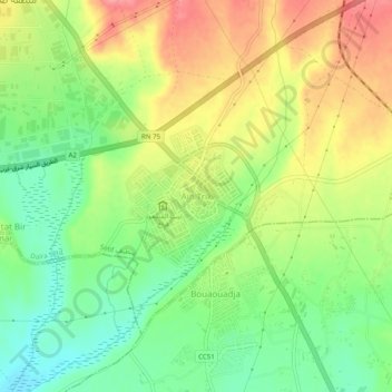
Aïn Trik topographic map
Interactive map
Click on the map to display elevation.
About this map
Name: Aïn Trik topographic map, elevation, terrain.
Location: Aïn Trik, Sétif, Daïra Sétif, Sétif, Algérie (36.12775 5.42274 36.16775 5.46274)
Average elevation: 3,333 ft
Minimum elevation: 3,196 ft
Maximum elevation: 3,491 ft