
Mallacoota topographic map
Interactive map
Click on the map to display elevation.
About this map
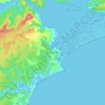
Name: Mallacoota topographic map, elevation, terrain.
Average elevation: 62 ft
Minimum elevation: -26 ft
Maximum elevation: 390 ft
Other topographic maps
Click on a map to view its topography, its elevation and its terrain.
Goodwin Sands
Australia > Victoria > Mallacoota
Goodwin Sands, Mallacoota, Shire of East Gippsland, Victoria, 3892, Australia
Average elevation: 26 ft