
South Russell topographic map
Interactive map
Click on the map to display elevation.
About this map
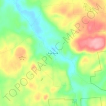
Name: South Russell topographic map, elevation, terrain.
Location: South Russell, Saint Lawrence County, New York, 13684, USA (44.35145 -75.14742 44.39145 -75.10742)
Average elevation: 869 ft
Minimum elevation: 676 ft
Maximum elevation: 1,096 ft