
Tietjerk topographic map
Interactive map
Click on the map to display elevation.
About this map
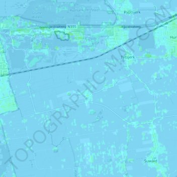
Name: Tietjerk topographic map, elevation, terrain.
Location: Tietjerk, Tietjerksteradeel, Friesland, Nederland (53.18156 5.85096 53.21786 5.93762)
Average elevation: 0 ft
Minimum elevation: -13 ft
Maximum elevation: 16 ft