
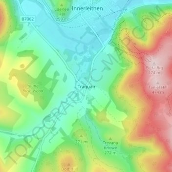
Traquair topographic map
Interactive map
Click on the map to display elevation.
About this map
Name: Traquair topographic map, elevation, terrain.
Location: Traquair, Scottish Borders, Schotland, EH44 6PJ, VK (55.58093 -3.08382 55.62093 -3.04382)
Average elevation: 807 ft
Minimum elevation: 420 ft
Maximum elevation: 1,542 ft