
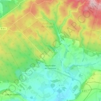
Neufchâtel-en-Saosnois topographic map
Interactive map
Click on the map to display elevation.
About this map
Name: Neufchâtel-en-Saosnois topographic map, elevation, terrain.
Average elevation: 663 ft
Minimum elevation: 374 ft
Maximum elevation: 1,152 ft