
Woughton on the Green topographic map
Interactive map
Click on the map to display elevation.
About this map
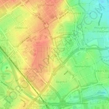
Name: Woughton on the Green topographic map, elevation, terrain.
Average elevation: 285 ft
Minimum elevation: 197 ft
Maximum elevation: 354 ft
Other topographic maps
Click on a map to view its topography, its elevation and its terrain.
Central Milton Keynes
United Kingdom > England > Milton Keynes
Central Milton Keynes, Milton Keynes, South East, England, United Kingdom
Average elevation: 318 ft
Loughton and Great Holm
United Kingdom > England > Milton Keynes
Loughton and Great Holm, Milton Keynes, South East, England, United Kingdom
Average elevation: 302 ft