
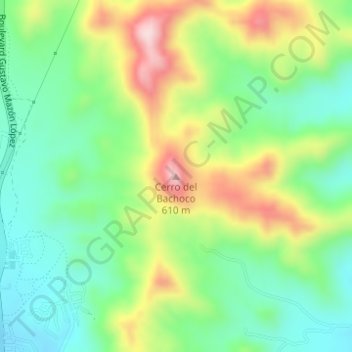
Cerro del Bachoco topographic map
Interactive map
Click on the map to display elevation.
About this map
Name: Cerro del Bachoco topographic map, elevation, terrain.
Location: Cerro del Bachoco, Hermosillo, Sonora, 83147, México (29.14994 -110.93793 29.15004 -110.93783)
Average elevation: 1,365 ft
Minimum elevation: 981 ft
Maximum elevation: 2,011 ft
Other topographic maps
Click on a map to view its topography, its elevation and its terrain.
Siete Cerros
México > Sonora > Hermosillo > Siete Cerros
Siete Cerros, Hermosillo, Sonora, 83000, México
Average elevation: 587 ft