
Cave Spring topographic map
Interactive map
Click on the map to display elevation.
About this map
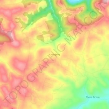
Name: Cave Spring topographic map, elevation, terrain.
Location: Cave Spring, Claiborne County, Tennessee, 37879, USA (36.48481 -83.57658 36.52481 -83.53658)
Average elevation: 1,519 ft
Minimum elevation: 1,096 ft
Maximum elevation: 1,795 ft