
Hüllscheid topographic map
Interactive map
Click on the map to display elevation.
About this map
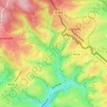
Name: Hüllscheid topographic map, elevation, terrain.
Location: Hüllscheid, Büllingen, Verviers, Luik, Wallonië, België (50.33160 6.34210 50.37160 6.38210)
Average elevation: 1,880 ft
Minimum elevation: 1,598 ft
Maximum elevation: 2,156 ft