
Fonte topographic map
Interactive map
Click on the map to display elevation.
About this map
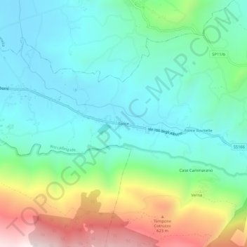
Name: Fonte topographic map, elevation, terrain.
Location: Fonte, SA, CAM, 84044, Itália (40.43663 15.09176 40.47663 15.13176)
Average elevation: 850 ft
Minimum elevation: 108 ft
Maximum elevation: 2,749 ft