
Balmoral topographic map
Interactive map
Click on the map to display elevation.
About this map
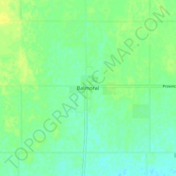
Name: Balmoral topographic map, elevation, terrain.
Location: Balmoral, Rockwood, Manitoba, Canada (50.23582 -97.34045 50.27582 -97.30045)
Average elevation: 837 ft
Minimum elevation: 814 ft
Maximum elevation: 863 ft