
Río Verde topographic map
Interactive map
Click on the map to display elevation.
About this map
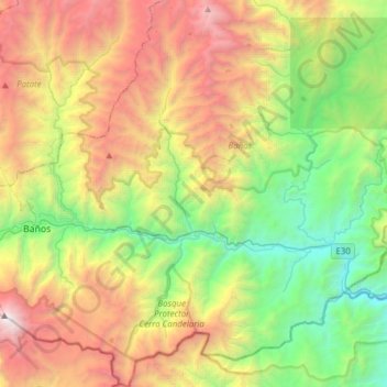
Name: Río Verde topographic map, elevation, terrain.
Location: Río Verde, Baños, Tungurahua, 180253, Ecuador (-1.52314 -78.39192 -1.21690 -78.25591)
Average elevation: 8,573 ft
Minimum elevation: 3,573 ft
Maximum elevation: 16,378 ft