
阿底 topographic map
Interactive map
Click on the map to display elevation.
About this map
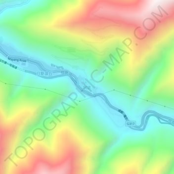
Name: 阿底 topographic map, elevation, terrain.
Location: 阿底, 马尔康市, 阿坝藏族羌族自治州, 四川省, 中国 (31.86858 102.23151 31.90858 102.27151)
Average elevation: 10,003 ft
Minimum elevation: 8,583 ft
Maximum elevation: 12,211 ft