
Seiça topographic map
Interactive map
Click on the map to display elevation.
About this map
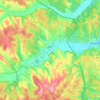
Name: Seiça topographic map, elevation, terrain.
Location: Seiça, Ourém, Santarém, 2435-547, Portugal (39.63683 -8.56259 39.70814 -8.47582)
Average elevation: 548 ft
Minimum elevation: 312 ft
Maximum elevation: 869 ft