
Nava topographic map
Interactive map
Click on the map to display elevation.
About this map
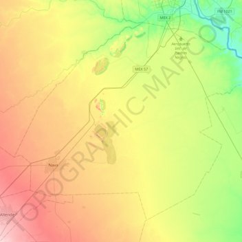
Name: Nava topographic map, elevation, terrain.
Location: Nava, Coahuila de Zaragoza, México (28.33310 -100.83930 28.65101 -100.39677)
Average elevation: 965 ft
Minimum elevation: 659 ft
Maximum elevation: 1,345 ft