
沙坡头区 topographic map
Interactive map
Click on the map to display elevation.
About this map
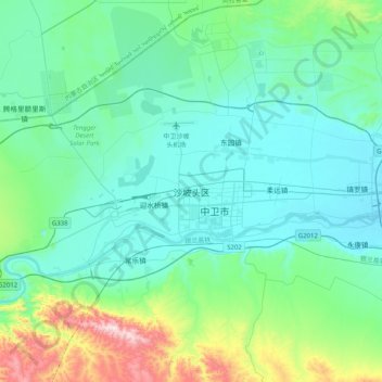
Name: 沙坡头区 topographic map, elevation, terrain.
Location: 沙坡头区, 滨河, 沙坡头区, 中卫市, 宁夏回族自治区, 中国 (37.35567 105.00845 37.67567 105.32845)
Average elevation: 4,367 ft
Minimum elevation: 3,950 ft
Maximum elevation: 6,355 ft