
Ain Sfiha topographic map
Interactive map
Click on the map to display elevation.
About this map
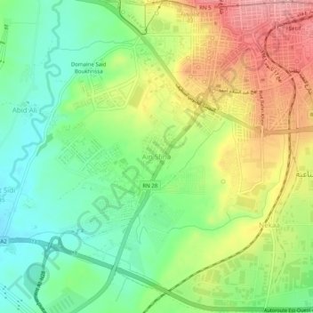
Name: Ain Sfiha topographic map, elevation, terrain.
Location: Ain Sfiha, Sétif, Daïra Sétif, Sétif, 19000, Algérie (36.15011 5.37306 36.19011 5.41306)
Average elevation: 3,333 ft
Minimum elevation: 3,153 ft
Maximum elevation: 3,583 ft