
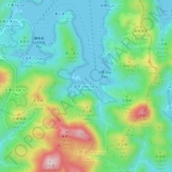
赤徑 topographic map
Interactive map
Click on the map to display elevation.
About this map
Name: 赤徑 topographic map, elevation, terrain.
Location: 赤徑, 大埔區, 新界, 香港, 中国 (22.40134 114.33020 22.44134 114.37020)
Average elevation: 374 ft
Minimum elevation: -7 ft
Maximum elevation: 1,273 ft