
Murau topographic map
Interactive map
Click on the map to display elevation.
About this map
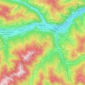
Name: Murau topographic map, elevation, terrain.
Location: Murau, Stiermarken, 8850, Oostenrijk (47.02583 14.11904 47.14864 14.27730)
Average elevation: 4,216 ft
Minimum elevation: 2,490 ft
Maximum elevation: 6,706 ft