
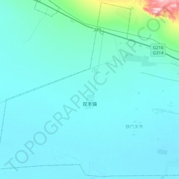
双丰镇 topographic map
Interactive map
Click on the map to display elevation.
About this map
Name: 双丰镇 topographic map, elevation, terrain.
Location: 双丰镇, Tiemenguan, Xinjiang, China (41.74110 85.35305 41.94429 85.63290)
Average elevation: 3,041 ft
Minimum elevation: 2,936 ft
Maximum elevation: 4,436 ft