
Hamala topographic map
Interactive map
Click on the map to display elevation.
About this map
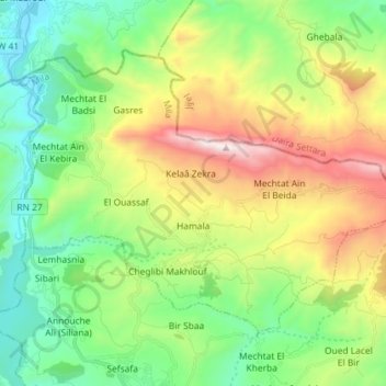
Name: Hamala topographic map, elevation, terrain.
Location: Hamala, Daïra Grarem Gouga, Mila, Algérie (36.53803 6.27398 36.62420 6.41812)
Average elevation: 1,762 ft
Minimum elevation: 194 ft
Maximum elevation: 4,777 ft