
清溪河 topographic map
Interactive map
Click on the map to display elevation.
About this map
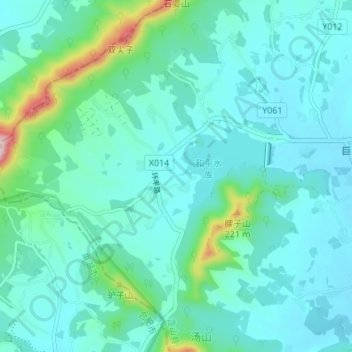
Name: 清溪河 topographic map, elevation, terrain.
Location: 清溪河, 清溪镇, 马鞍山市, 含山县, 安徽省, 中国 (31.70136 117.90102 31.70760 117.96894)
Average elevation: 220 ft
Minimum elevation: 56 ft
Maximum elevation: 1,119 ft
Other topographic maps
Click on a map to view its topography, its elevation and its terrain.