
Lerín topographic map
Interactive map
Click on the map to display elevation.
About this map
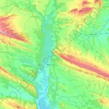
Name: Lerín topographic map, elevation, terrain.
Location: Lerín, Navarra, 31260, España (42.42876 -2.03991 42.53143 -1.88406)
Average elevation: 1,273 ft
Minimum elevation: 1,033 ft
Maximum elevation: 1,759 ft