
Sterbos topographic map
Interactive map
Click on the map to display elevation.
About this map
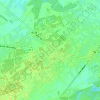
Name: Sterbos topographic map, elevation, terrain.
Location: Sterbos, Wuustwezel, Antwerpen, Vlaanderen, 2990, België (51.37273 4.54506 51.41273 4.58506)
Average elevation: 59 ft
Minimum elevation: 36 ft
Maximum elevation: 82 ft