
Bissegem topographic map
Interactive map
Click on the map to display elevation.
About this map
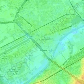
Name: Bissegem topographic map, elevation, terrain.
Location: Bissegem, Courtrai, Flandre-Occidentale, Flandre, Belgique (50.80950 3.20327 50.83440 3.24341)
Average elevation: 56 ft
Minimum elevation: 20 ft
Maximum elevation: 108 ft
Other topographic maps
Click on a map to view its topography, its elevation and its terrain.