
Pantabangan Dam topographic map
Interactive map
Click on the map to display elevation.
About this map
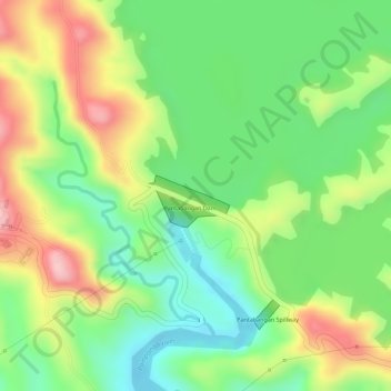
Name: Pantabangan Dam topographic map, elevation, terrain.
Average elevation: 709 ft
Minimum elevation: 423 ft
Maximum elevation: 1,066 ft
Other topographic maps
Click on a map to view its topography, its elevation and its terrain.
Cadaclan
Philippines > Nueva Ecija > Pantabangan
Cadaclan, Pantabangan, Nueva Ecija, Central Luzon, Philippines
Average elevation: 1,010 ft