
Cupi topographic map
Interactive map
Click on the map to display elevation.
About this map
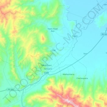
Name: Cupi topographic map, elevation, terrain.
Location: Cupi, Province of Melgar, Puno, Peru (-15.00132 -70.99665 -14.82086 -70.78982)
Average elevation: 13,698 ft
Minimum elevation: 12,838 ft
Maximum elevation: 17,014 ft