
Aurich topographic map
Interactive map
Click on the map to display elevation.
About this map
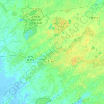
Name: Aurich topographic map, elevation, terrain.
Location: Aurich, Aurich (arrondissement), Basse-Saxe, Allemagne (53.40545 7.40185 53.56176 7.67914)
Average elevation: 20 ft
Minimum elevation: -10 ft
Maximum elevation: 52 ft